GARMIN Russia - Inland Waterways, (HXEU062R), BlueChart g3 HD map on SD Card


This item is brand new
$120.95
Request price match
This item ships within 1 day
sw|cw|sw


Contents of the package
Features
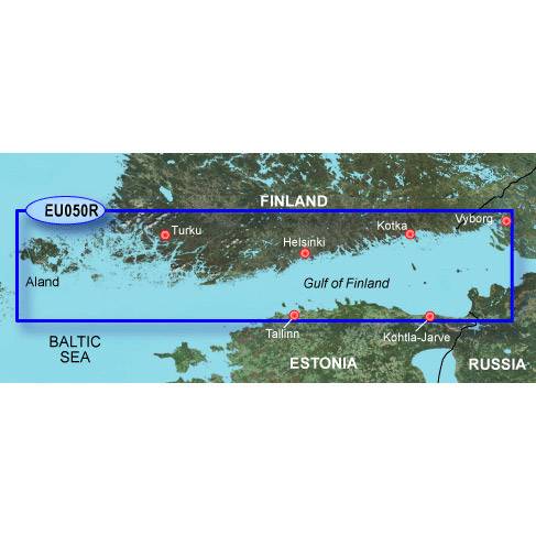
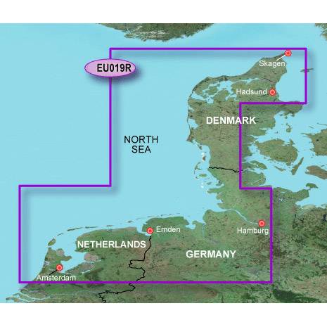
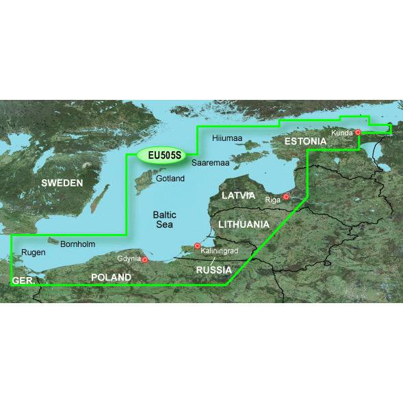
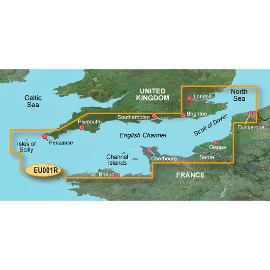
Coverage
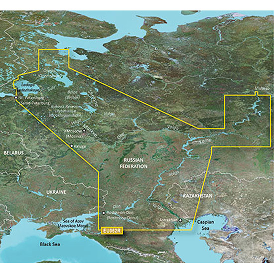
This Cyrillic data card details main channel coverage of the major river systems and lakes of western Russia. Coverage includes the Don R. from the Sea of Azov (Azovskoe More) to the Tsimlyanskoe Reservoir (Tsimlyansk Vodokhranilishche); the Volga-Don Canal (Volgo-Donskoy Kanal) to the Volga R. which is shown in its entirety; the Kama R. from its junction with the Vyatka R. to the Volga R.; the Oka R. from Kaluga to its junction with the Moskva R; the Sheksna R. in its entirety; Lake Beloe (Beloye Ozero); the Volga-Baltic Canal (Volgo-Baltiyskiy Kanal); Lake Onega (Onezhskoe Ozero); the Svir R. to Lake Ladoga (Ladozhskoye Ozero); and the Neva R. to St. Petersburg (Sankt-Peterburg). Detailed coverage features the Volga-Batic Waterway, including the Rybinsk Resevior (Rybinskoye Vodokhranilishche); Lakes Onega (Onezhskoe), Ladoga (Ladozhskoye), and Beloe (Beloye).
About BlueChart g2 Maps
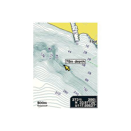
Get a new perspective on navigation with BlueChart g2 marine cartography. This newly designed map data provides even more detail, dimension and graphical sophistication to a well-proven benchmark of marine navigation.
Featuring crisp labeling and an overall smoother presentation on your chartplotter display, the new generation of BlueChart g2 has numerous improvements to assist in marine navigation. In addition to the basic charts, tidal stations, currents, depth contours, IALA symbols, and included fishing charts, BlueChart g2 offers improved transitioning between zoom levels and more seamless continuity across chart boundaries.
BlueChart g2 also adds Safety Depth settings to let users select up to five values for specific depth contour intervals. And the fishing charts are designed to emphasize bathymetric contours with less visual clutter on the display. Theres also a choice of standard 2D direct overhead or 3D over the bow map perspective views to make chart reading and orientation easier.
- Realistic navigation features showing everything from shaded depth contours and coastlines to spot soundings, navaids, port plans, wrecks, obstructions, intertidal zones, restricted areas, IALA symbols and more
- Smooth display presentation including seamless transitioning between zoom levels and more continuity across chart boundaries
- Safety Depth settings lets you select up to five values for specific depth contour intervals
- Fishing charts to focus on bathymetric contours with less clutter on the display
- Choice of standard 2D direct overhead or 3D over the bow map perspective to make chart reading and orientation easier
Specifications
Item number: 010-C1048-20
UPC: 753759968465
Package weight: 0.3 lb
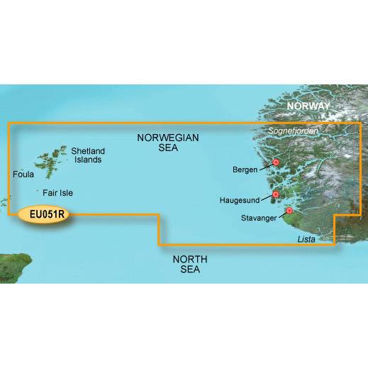
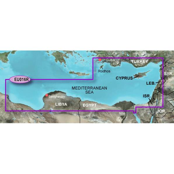
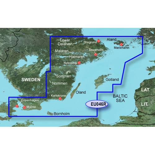
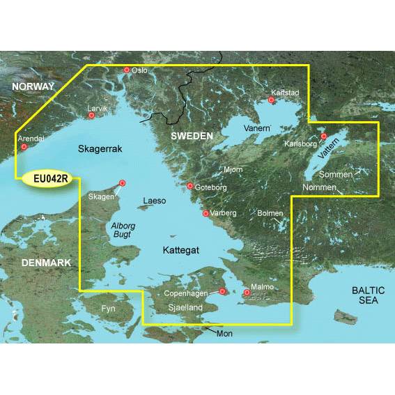
Other Products in the Series:


List of Compatible Units:
Note: Displayed are products sold in gps4us store.
There might be more GPS units compatible with chosen accessory.